
Hill Country Land, Water, Sky and Natural Infrastructure Plan
The Texas Hill Country Conservation Network required a defensible basis for directing conservation investment across eighteen counties, in one of the fastest-growing regions in the United States.
Client
Texas Hill County Network
Service
Conservation Planning
State
Texas
Status
Regional Plan
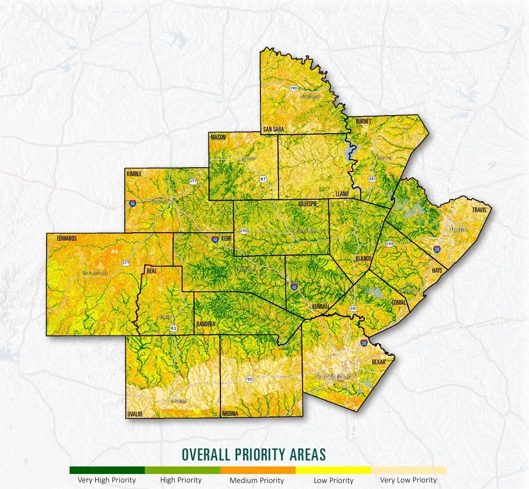
The Texas Hill Country Conservation Network needed a regional framework for identifying the lands and natural systems most important to the long-term health and resilience of an 18-county area experiencing sustained population growth.
The challenge was not a lack of information. It was bringing together water resources, working lands, wildlife habitat, ecological connectivity, dark skies, recreation, and other priorities within one consistent analysis.
Terra Alta translated those regional goals into mapped priorities that could support decisions at both regional and local scales.
Regional conservation priorities across eighteen counties
Translated shared goals into measurable criteria
The stakeholder process identified what communities and conservation partners valued across the region.
Terra Alta converted those priorities into clear spatial criteria that could be measured consistently without losing the intent behind them.

Analyzed conservation systems together
Water, working lands, wildlife habitat, connectivity, dark skies, recreation, and other natural infrastructure were evaluated within one framework rather than as separate inventories.
This revealed where multiple conservation benefits occurred together while still recognizing places important for an individual resource.

Built priorities that worked at multiple scales
The analysis identified where conservation and investment could provide significant regional benefits.
It was also designed to remain useful when applied by counties, land trusts, communities, and other partners evaluating individual landscapes and properties.

Made the maps central to implementation
The resulting maps became a core part of a plan intended to guide future conservation, restoration, funding, and regional collaboration.
Clear public-facing cartography helped partners understand the analysis, communicate shared priorities, and use the results when opportunities arose.

A regional plan is only useful if local partners can act on it. That requires maps and priorities developed at the scale where decisions are made and grounded in goals that communities and partners recognize as their own.
For a regional network, coalition, or funder allocating limited resources across a large area, the central value lies in translating complex data and diverse priorities into a shared, transparent, and geographically specific framework for action.
Valued Partners

18
Counties analyzed
6
Natural infrastructure systems mapped
22
Data layers utilized
2023
Project completed

Other Terra Alta Projects
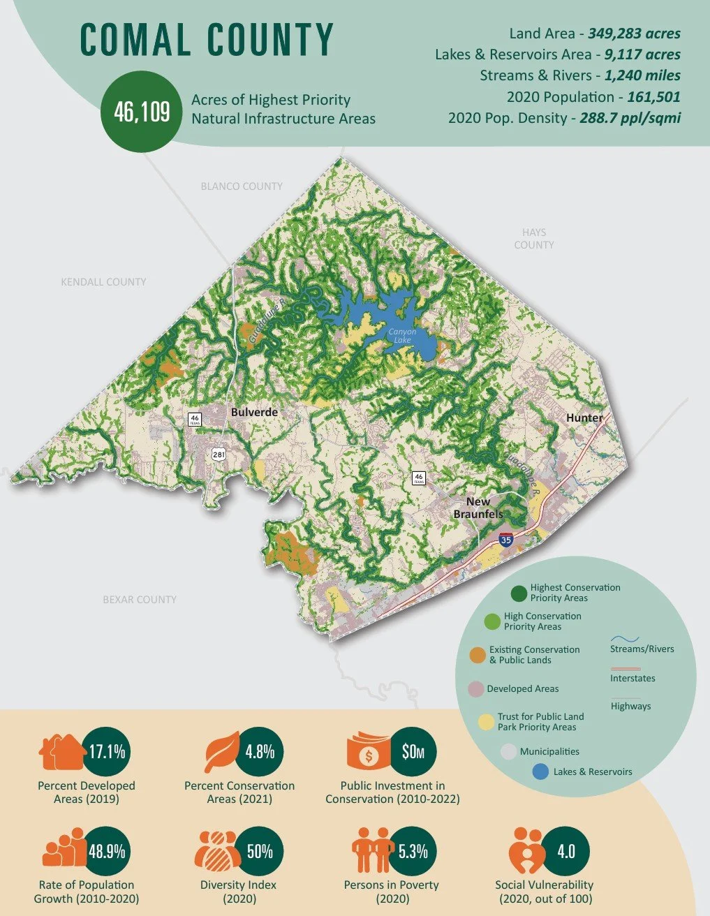
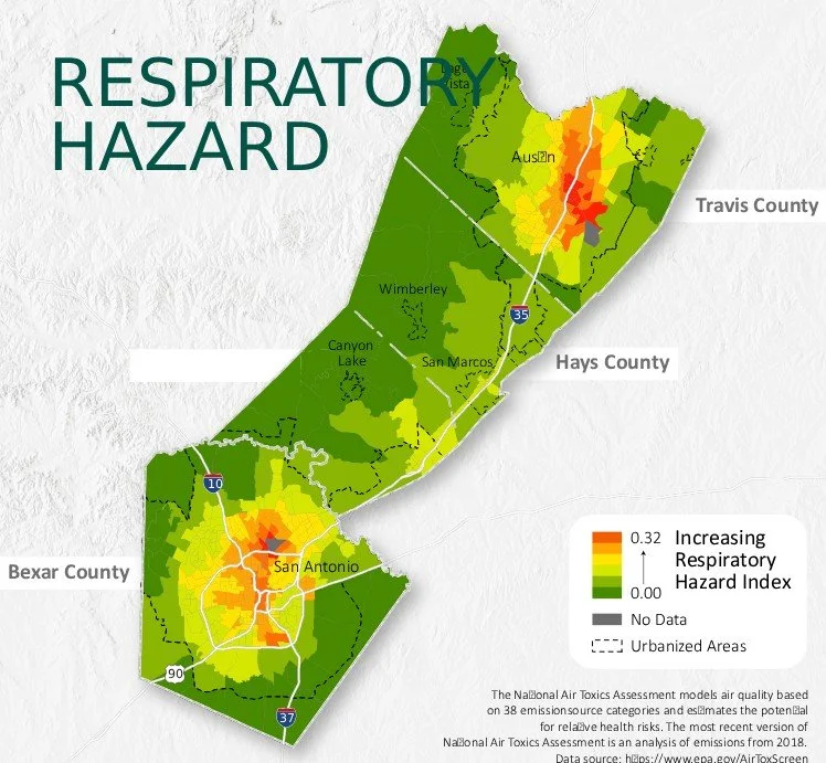
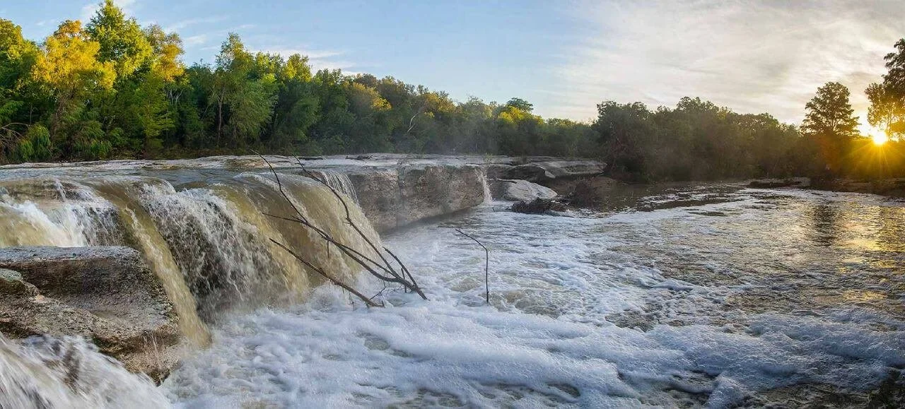
Travis County Parks Plan
A fast-growing county needed a defensible answer to why one property was appropriate for conservation and another was not.
Terra Alta helped develop the prioritization model and contributed the recommendations that turned the analysis into a sequence the County could act on.
Buffalo Creek Wilderness
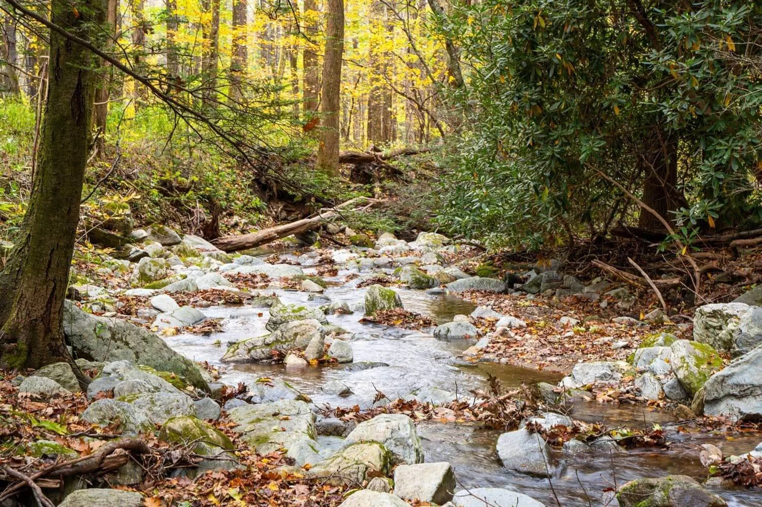
A state wildlife agency wanted the property and there was no money on the table.
Terra Alta developed the $13.5 million Forest Legacy Program application that positioned it for acquisition by the North Carolina Wildlife Resources Commission.
San Gabriel Valley Community Land Trust Study
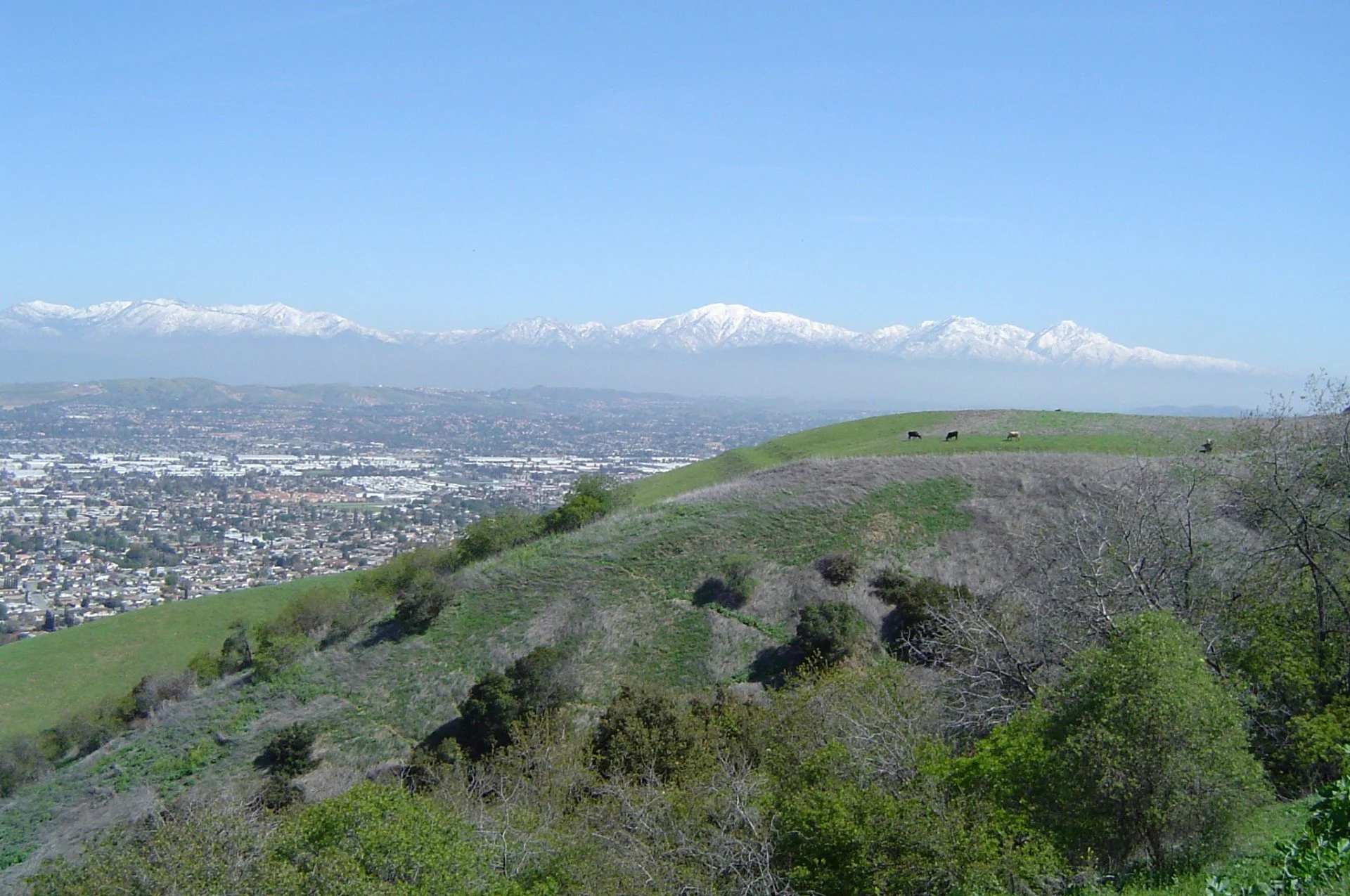
A regional coalition wanted to know whether a land trust would work and where it should start.
Terra Alta led the geographic analysis across 18 municipalities that identified where land acquisition would have the greatest effect.

Start with the property and the questions
You do not need to know which conservation option is right—or whether conservation makes sense at all. Tell us about the property and what you hope to accomplish. We will help identify what is realistically possible and which paths, if any, are worth pursuing.