

Conservation Planning
A practical conservation-prioritization framework that decision-makers can adopt, partners can act on, and the public can understand—grounded in hands-on experience completing land acquisitions and conservation easement transactions.
Planning for conservation success
Terra Alta’s broad experience informs prioritization frameworks that support clear, objective, and defensible acquisition decisions—giving clients the confidence to set priorities and move forward
Clear goals and defensible criteria
The process begins by defining what the program is trying to accomplish and how potential acquisitions will be evaluated. Criteria should reflect adopted plans, conservation priorities, community needs, feasibility, and available resources—giving decision-makers a consistent and defensible basis for comparing opportunities.
Reliable data and transparent analysis
The framework is built using current, credible, and appropriate spatial and nonspatial data. Sources, assumptions, methods, and limitations are clearly documented so staff, governing bodies, partners, and the public can understand how the analysis was conducted and have confidence in the results.
Priorities that support real decisions
Each opportunity is evaluated consistently based on conservation value, acquisition feasibility, cost, timing, and other relevant considerations. The analysis helps decision-makers compare properties, understand tradeoffs, explain their choices, and direct limited resources where they can achieve the greatest benefit.
A plan built for implementation
The final product includes practical maps, evaluation tools, priorities, and an implementation sequence—not simply a report. It is designed to guide the next acquisition, respond to new opportunities, support funding requests, and remain useful as conditions, priorities, and available information change.

Plans grounded in real-world acquisition experience
Terra Alta’s principal brings more than twenty years of experience advising conservation transactions and ten years as a licensed real estate broker, helping translate conservation priorities into workable acquisition strategies.
High conservation value alone does not make a property a realistic acquisition opportunity. A useful plan also considers whether the conservation case is clear and defensible, whether the landowner may be receptive, and whether funding, timing, cost, access, and transaction requirements can align.
The result is a focused acquisition plan that helps clients explain their decisions, pursue the strongest opportunities, and move priority projects from analysis toward completion.

How a planning engagement works
Define the goals and evaluation criteria
Terra Alta works with staff, governing bodies, advisory committees, and other partners to clarify what the program is trying to accomplish and which decisions the plan must support.
Those goals are translated into measurable criteria using current, reliable data. The criteria, assumptions, and rationale are documented from the beginning, creating a transparent and defensible foundation for the analysis.

Build, review, and refine the analysis
The criteria are applied consistently across the study area using spatial analysis and other relevant information. Preliminary results are reviewed with the client and compared with places and properties the client already understands.
Unexpected results are investigated to identify data gaps, incorrect assumptions, or other issues. The purpose is not to force a preferred result, but to ensure the analysis works as intended before it is finalized.
Turn the analysis into an actionable plan
The results are translated into clear priorities and an implementation strategy—what to pursue first, what each opportunity may require, and what funding, partnerships, or preparation may be needed.
The client receives maps, documented criteria, evaluation tools, and other materials that staff can use to assess new opportunities, support funding requests, explain decisions, and update priorities over time.

What a useful conservation plan must get right
-
Clearly define what the program is intended to accomplish before selecting data or evaluating properties. Priorities may include wildlife habitat, working lands, water resources, cultural resources, recreation, public access, or other community goals.
An agreed-upon purpose keeps the analysis focused and provides a clear basis for later decisions.
-
Translate each conservation goal into criteria that can be evaluated consistently. Use the best available data at the appropriate scale, document its source and currency, and clearly explain its limitations.
The analysis should be as precise as the evidence allows—without suggesting a level of certainty the data cannot support.
-
Classification methods, scoring rules, and criterion weights can significantly affect the results. These decisions should reflect informed stakeholder input and be documented before the final priorities are produced.
The methodology must be understandable enough for staff and decision-makers to explain—and defensible enough to withstand public scrutiny.
-
High conservation value does not automatically make a property a realistic acquisition opportunity. Cost, landowner interest, legal access, development pressure, funding eligibility, partner capacity, timing, and transaction complexity may all affect what can be accomplished.
A useful plan distinguishes between land worth protecting and opportunities the program can realistically pursue.
-
Results should show more than where conservation values occur. They should help decision-makers compare opportunities, understand tradeoffs, determine what to pursue first, and identify what must happen next.
Maps, online viewers, dashboards, evaluation forms, and other tools should make those decisions easier to understand, explain, and implement
-
The framework should continue working after the plan is adopted. Staff should be able to evaluate new opportunities, update information, adjust priorities, and explain how decisions were made.
A lasting system preserves the methodology and institutional knowledge while allowing the program to respond as data, funding, leadership, and conditions change.
Common questions about Terra Alta’s Conservation Planning services
-
The final product will help your organization evaluate conservation opportunities consistently, explain its priorities, direct limited resources, and decide what to pursue next.
Depending on the scope, deliverables may include evaluation criteria, a documented methodology, priority maps, property or opportunity rankings, an implementation strategy, and decision-support tools that staff can use when new opportunities arise. The goal is a working system, not simply a report.
-
Terra Alta manages the technical analysis, but the framework must reflect the client’s goals, policies, knowledge, and decision-making process.
Staff, governing bodies, advisory committees, and other stakeholders may help define priorities, review criteria, evaluate preliminary results, and confirm that the final tools are practical. The engagement is structured to obtain that input efficiently without placing the technical workload on the client.
-
Clarifying the program’s goals and evaluating the available data are part of the planning process. Terra Alta identifies important gaps, determines whether existing information is suitable, and recommends where additional work would materially improve the analysis.
When better data cannot reasonably be obtained, the methodology may use appropriate proxy information, narrow the analysis, or clearly account for uncertainty. Limitations are documented so the results remain credible without implying more precision than the evidence supports.
-
Both. Terra Alta can lead a focused conservation-planning engagement or provide the conservation strategy, GIS analysis, and prioritization components within a broader planning project.
When working under a prime consultant, Terra Alta follows the project schedule, deliverable standards, and client-management structure. The scope is clearly defined so the prime receives specialized expertise without adding unnecessary coordination.
-
The scope depends on the size of the study area, the condition of the available data, the number of conservation priorities being evaluated, the stakeholder process, and the final tools and deliverables required.
Most planning engagements are completed for a fixed fee based on an agreed scope and schedule. Hourly work may be appropriate while the scope is still developing. Larger projects can also be divided into phases, beginning with a data assessment, methodology, or pilot analysis before proceeding to the full plan.
Land, Water, Sky, & Natural Infrastructure Plan
Hill Country Alliance
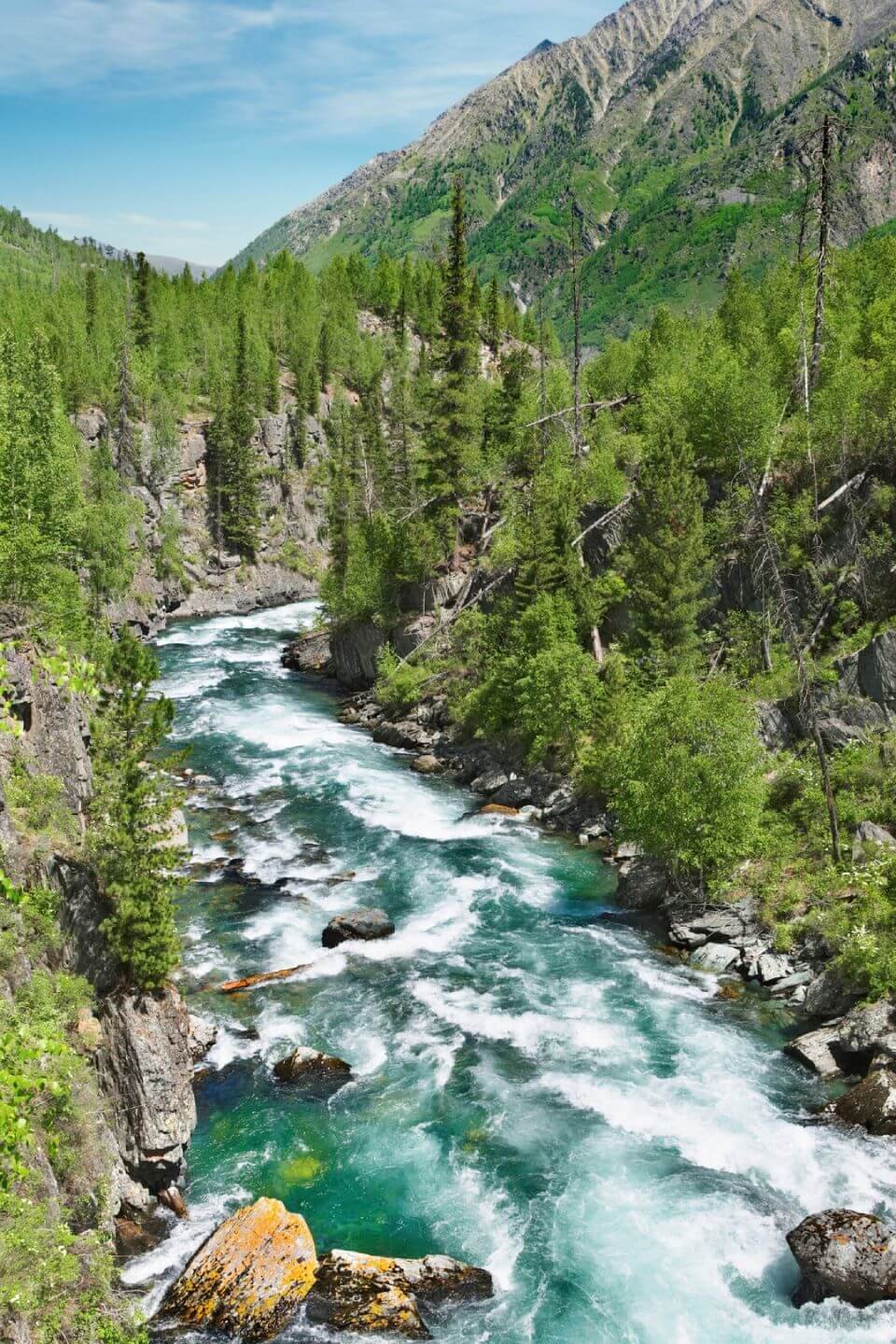
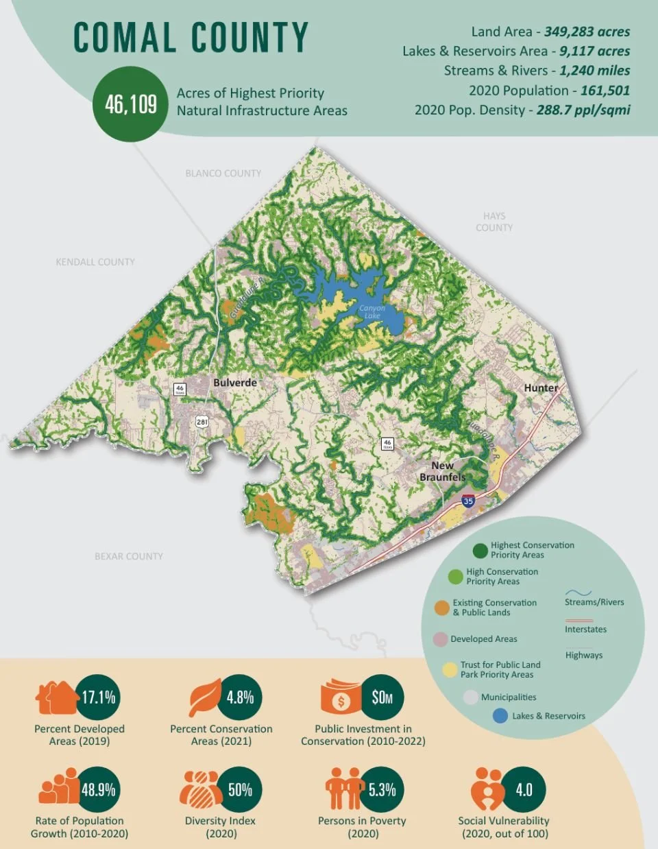
An 18-county region under heavy growth pressure needed to know where conservation investment would do the most good. Terra Alta produced the spatial analysis and mapping behind the regional plan for land, water, sky, and natural infrastructure.

Conservation Planning Projects
Travis County Parks Comprehensive Plan
Mend Collaborative & Travis County
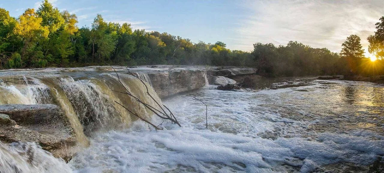
A fast-growing county needed a defensible answer to why one property was a priority and another was not. Terra Alta built the GIS prioritization model behind the parks comprehensive plan and carried it through to implementation.
San Gabriel Valley Community Land Trust Study
Primrose Research Group
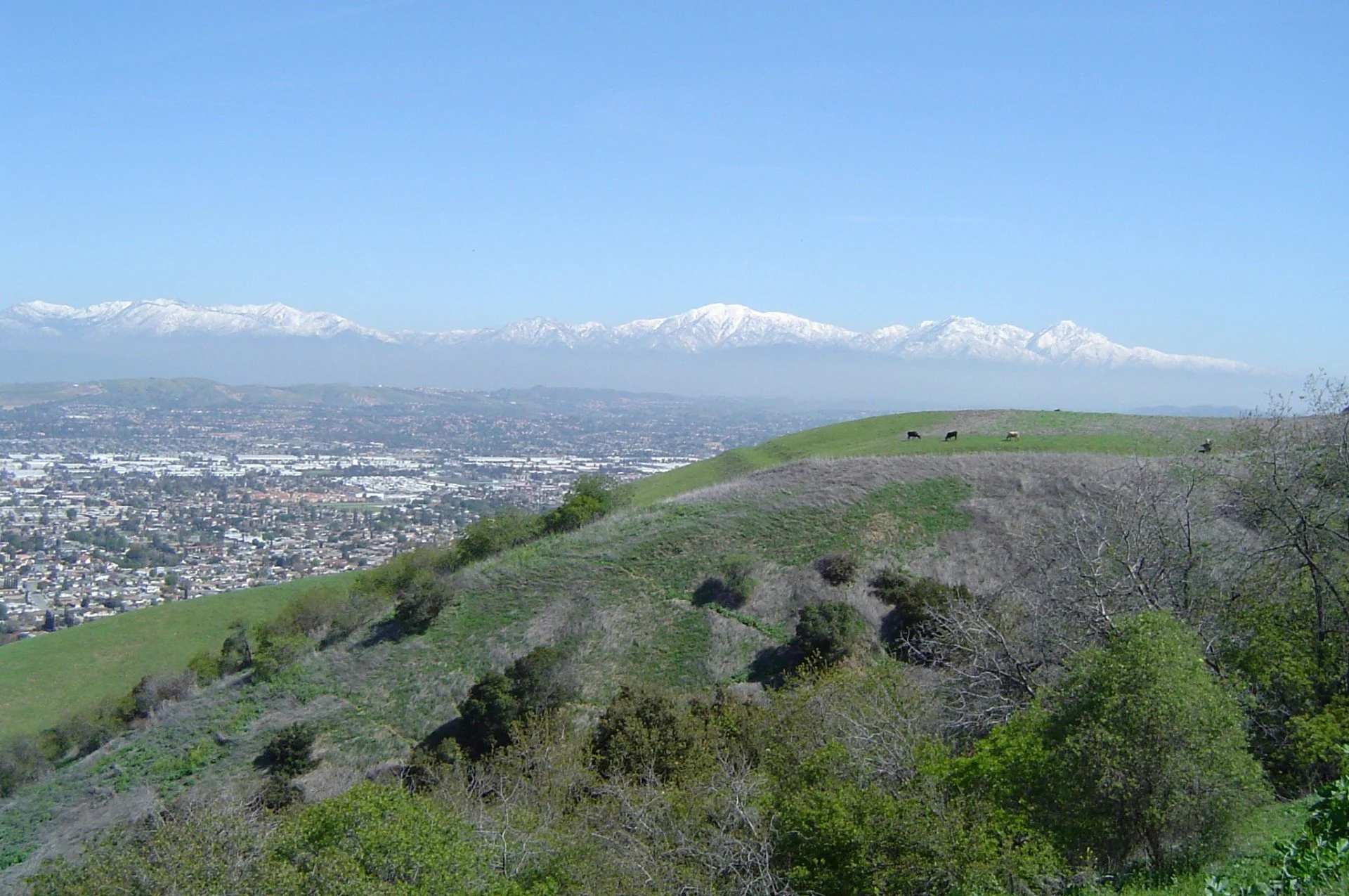
A regional coalition wanted to know whether a community land trust would work and where it should start. Terra Alta led the geographic analysis across 18 municipalities that identified where land acquisition would have the greatest effect.
Maps that work for every audience
A technically complete map is not necessarily an effective one. Decision-makers, staff, funders, landowners, and the public must be able to understand what a map shows—and what it does not—without misinterpreting the results.
Terra Alta translates complex spatial analysis into clear, accurate cartography and supporting materials for plans, public meetings, presentations, and funding applications.
Well-designed maps make the analysis easier to explain, the recommendations easier to defend, and the final plan more useful over time.
Start with the decisions you need to make
Send us your solicitation, draft scope, or project goals. We can provide qualifications, relevant examples, and a clear recommendation for how Terra Alta could help. If a full plan is premature, a data assessment or pilot analysis may be the right place to begin