
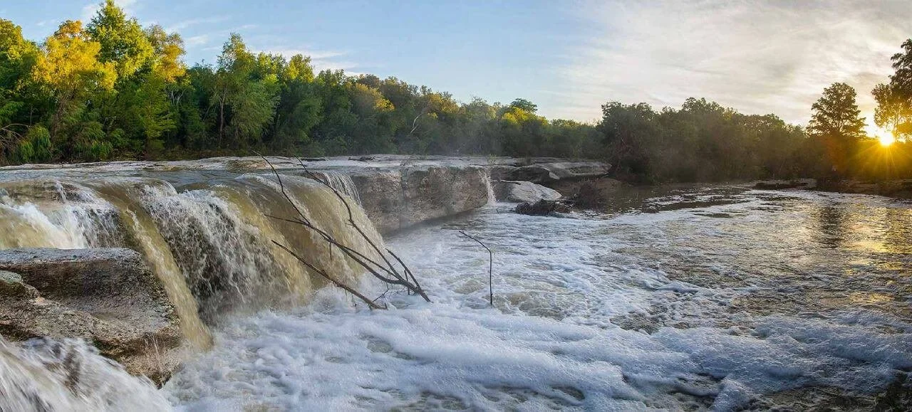
Travis County Parks Comprehensive Plan
Facing rapid growth and competing acquisition opportunities, Travis County needed a transparent and defensible framework for evaluating properties and directing public investment.
Client
Mend Collaborative
Service
Conservation Planning
State
Texas
Status
Plan Adopted
Travis County was evaluating its existing parks and open spaces while planning future acquisitions, conservation projects, greenways, and capital investments. It needed to translate a large body of community, recreation, and natural-resource information into clear priorities.
Working as part of the Mend Collaborative team, Terra Alta developed the spatial analysis and prioritization framework. The goal was not simply to produce a ranking, but to give County staff and decision-makers a consistent, transparent way to evaluate future opportunities.
Creating a defensible framework for future park investment
Evaluate the existing system
Terra Alta first examined the County’s existing parks, open spaces, greenways, and access in relation to adopted plans and community needs.
This established what the current system provided, where important gaps remained, and which areas were underserved.

Built the prioritization framework
The analysis combined community health, socioeconomic vulnerability, park access, conservation value, cultural resources, and other relevant information within one GIS-based framework.
Evaluating these priorities together revealed where a future acquisition or investment could advance several County goals at once.

Identified needs and connections
The results highlighted underserved communities, conservation priorities, missing trail and greenway connections, and locations where additional investment could provide meaningful public and ecological benefits.
Spatial analysis was particularly important for evaluating connections, whose value depends on the larger network rather than on a single property alone.

Turned the analysis into usable tools
Terra Alta remained involved from initial data collection through recommendations, implementation planning, mapping, and final presentation.
Because the analysis and public-facing materials were developed together, staff and decision-makers received consistent tools for understanding the results, explaining the priorities, and evaluating future opportunities.

A prioritization model is useful only if decision-makers can clearly explain its results. That requires documenting the criteria, weights, data sources, and underlying rationale as the framework is developed—not attempting to reconstruct those decisions later.
For a county, municipality, or prime consultant, Terra Alta can provide this as a clearly defined scope within a larger planning engagement: spatial analysis, a transparent prioritization framework, and the maps and supporting materials needed for public decision-making.
Valued Partners


13
Data themes combined in the model
10 years
Planning timeline
7
Comprehensive goals addressed
2025
Project completed
Other Terra Alta Projects
Natural Infrastructure Plan
An 18-county region under heavy growth pressure needed to know where conservation investment would do the most good.
Terra Alta produced the spatial analysis and mapping behind the regional plan for land, water, sky, and natural infrastructure.
Farmland Preservation Program
A village passed a bond to protect its farmland and needed the money turned into completed easements.
Terra Alta serves as Conservation Advisor to the program, with three easement projects currently active and four others completed.
San Gabriel Valley Community Land Trust Study
A regional coalition wanted to know whether a land trust would work and where it should start.
Terra Alta led the geographic analysis across 18 municipalities that identified where land acquisition would have the greatest effect.

Start with the property and the questions
You do not need to know which conservation option is right—or whether conservation makes sense at all. Tell us about the property and what you hope to accomplish. We will help identify what is realistically possible and which paths, if any, are worth pursuing.